-40%
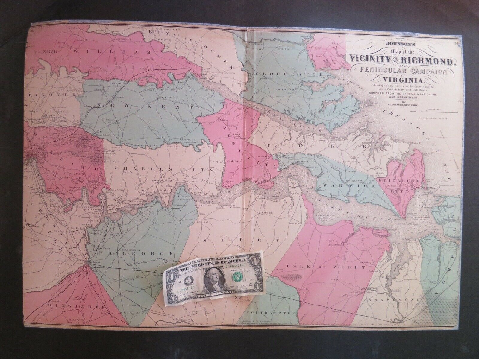
Original CIVIL WAR map SIEGE o YORKTOWN VIRGINIA Williamsburg PENINSULA CAMPAIGN
$ 39.6
- Description
- Size Guide
Description
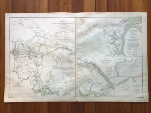
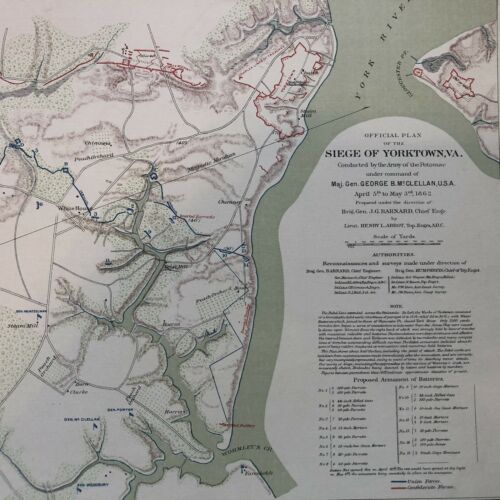
Original CIVIL WAR map of the SIEGE of YORKTOWN, VIRGINIA as well as Williamsburg during McClellan's PENINSULA CAMPAIGN in 1862, from the 1891 Atlas of Union and CONFEDERATE Records of the Civil War-
#IS-070104
Please
visit our ebay store for printed on the front page other FANTASTIC Americana, Antiquarian Books and Ephemera.
SEE PHOTO-----COMPLETE, ORIGINAL CIVIL WAR MAP,
from the 1st volume of the ATLAS to ACCOMPANY the OFFICIAL RECORDS of the UNION and CONFEDERATE ARMIES.
_
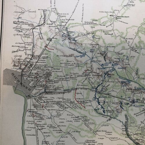
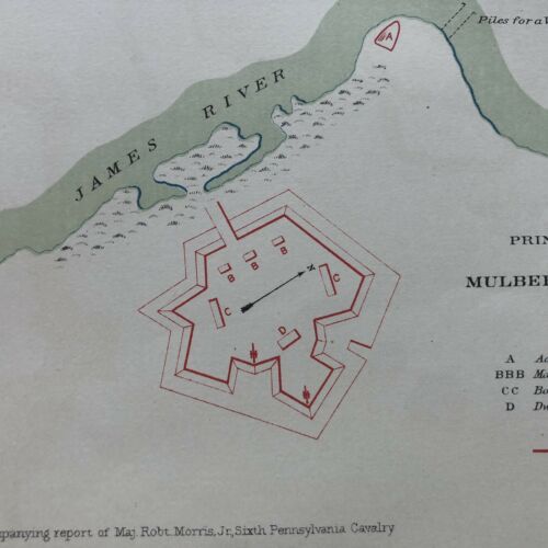
This large map actually contains five maps in all, the three largest being related to the Peninsula campaign of 1862.
Perfect for framing and display, this beautiful piece measures 29" X 18" and would look GREAT hanging with any fine CIVIL WAR collection!
The Battle of Yorktown or Siege of Yorktown was fought from April 5 to May 4, 1862, as part of the Peninsula Campaign of the American Civil War. Marching from Fort Monroe, Union Maj. Gen. George B. McClellan's Army of the Potomac encountered Maj. Gen. John B. Magruder's small Confederate force at Yorktown behind the Warwick Line. McClellan suspended his march up the Peninsula toward Richmond and settled in for siege operations.
On April 5, the IV Corps of Brig. Gen. Erasmus D. Keyes made initial contact with Confederate defensive works at Lee's Mill, an area McClellan expected to move through without resistance. Magruder's ostentatious movement of troops back and forth convinced the Union that his works were strongly held. As the two armies fought an artillery duel, reconnaissance indicated to Keyes the strength and breadth of the Confederate fortifications, and he advised McClellan against assaulting them. McClellan ordered the construction of siege fortifications and brought his heavy siege guns to the front. In the meantime, Gen. Joseph E. Johnston brought reinforcements for Magruder.
On April 16, Union forces probed a point in the Confederate line at Dam No. 1. The Union failed to exploit the initial success of this attack, however. This lost opportunity held up McClellan for two additional weeks while he tried to convince the U.S. Navy to bypass the Confederates' big guns at Yorktown and Gloucester Point and ascend the York River to West Point and outflank the Warwick Line. McClellan planned a massive bombardment for dawn on May 5, but the Confederate army slipped away during the night of May 3 toward Williamsburg.
The battle took place near the site of the 1781 Siege of Yorktown.
Very Good Condition, with mild edge wear.
This listing includes the complete entire original map.
VINTAGE BOOKS AND FINE AR
T stands behind all of the items that we sell with a no questions asked, money back guarantee. Every item we sell is original printed on the date indicated at the beginning of its description, unless clearly stated as a reproduction in the header AND text body. U.S. buyers pay calculated priority postage which includes waterproof plastic and a heavy cardboard flat to protect your purchase from damage in the mail. International postage is quoted when we are informed as to where the package is to be sent. We do combine postage (to reduce postage costs) for multiple purchases sent in the same package.
We accept payment by PAYPAL.
W
e ship packages daily.
This is truly a piece OF HISTORY that YOU CAN OWN!
Powered by SixBit's eCommerce Solution
