-40%
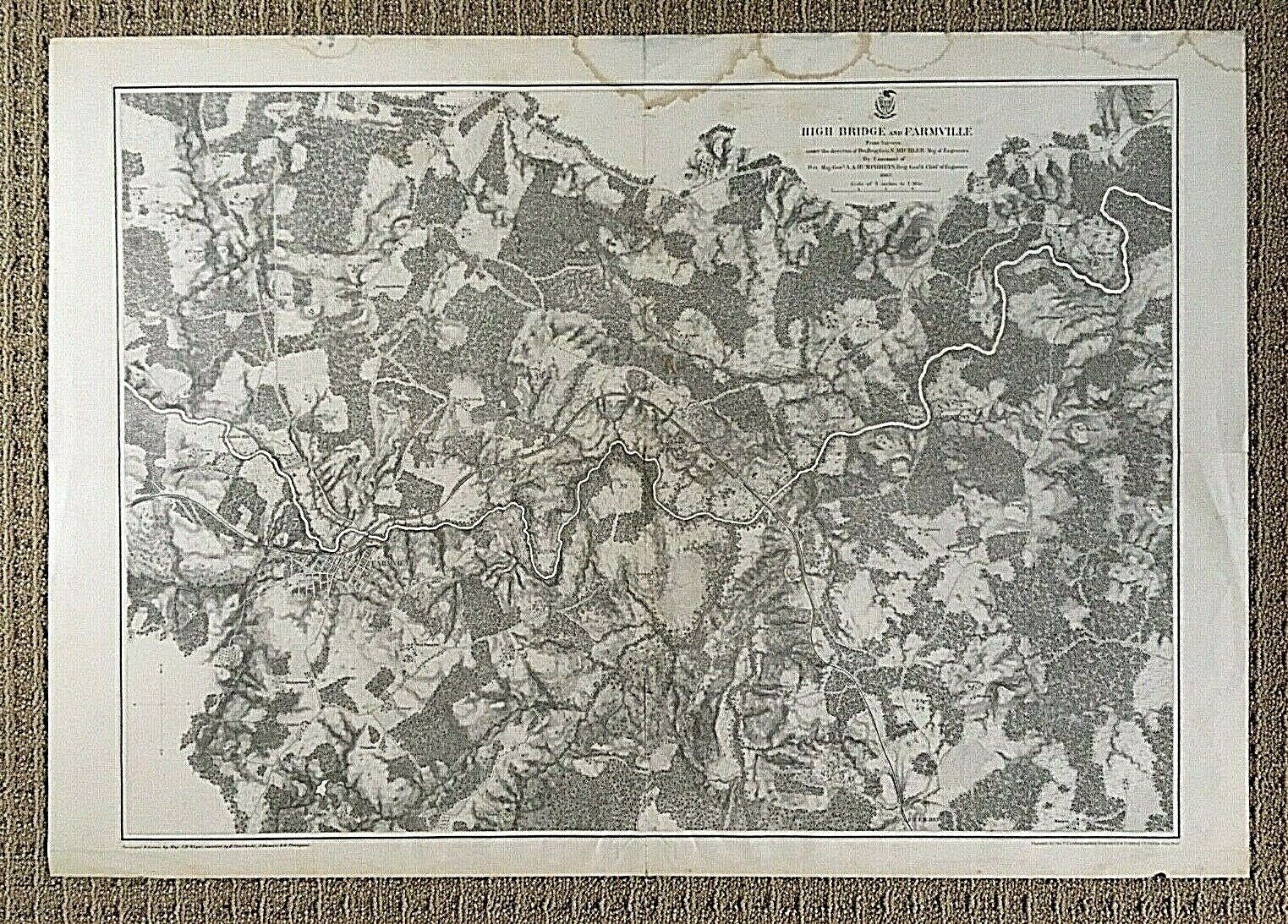
ORIGINAL - CIVIL WAR BATTLE of HIGH BRIDGE and FARMVILLE, VIRGINIA MAP c1865
$ 22.7
- Description
- Size Guide
Description
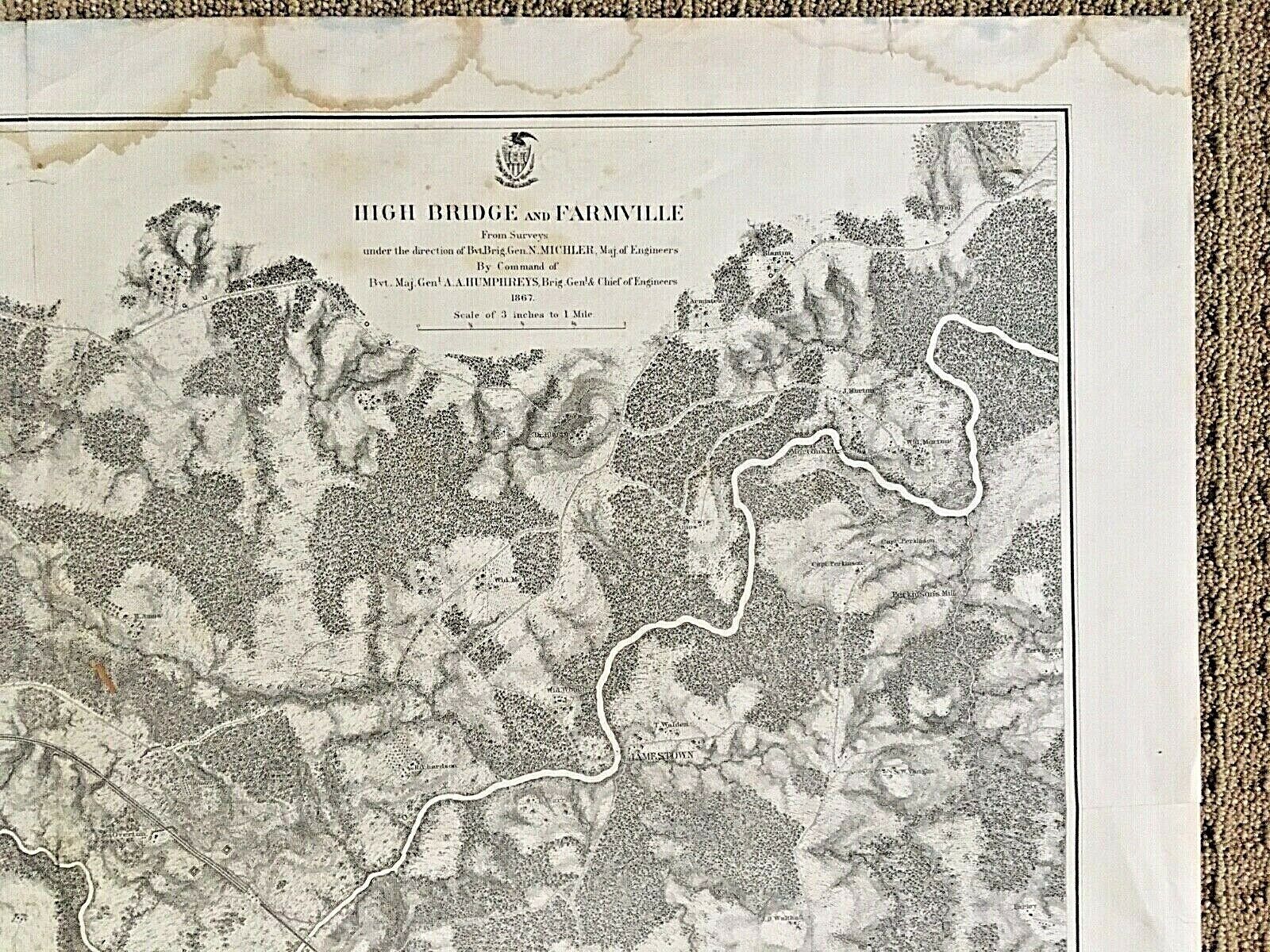
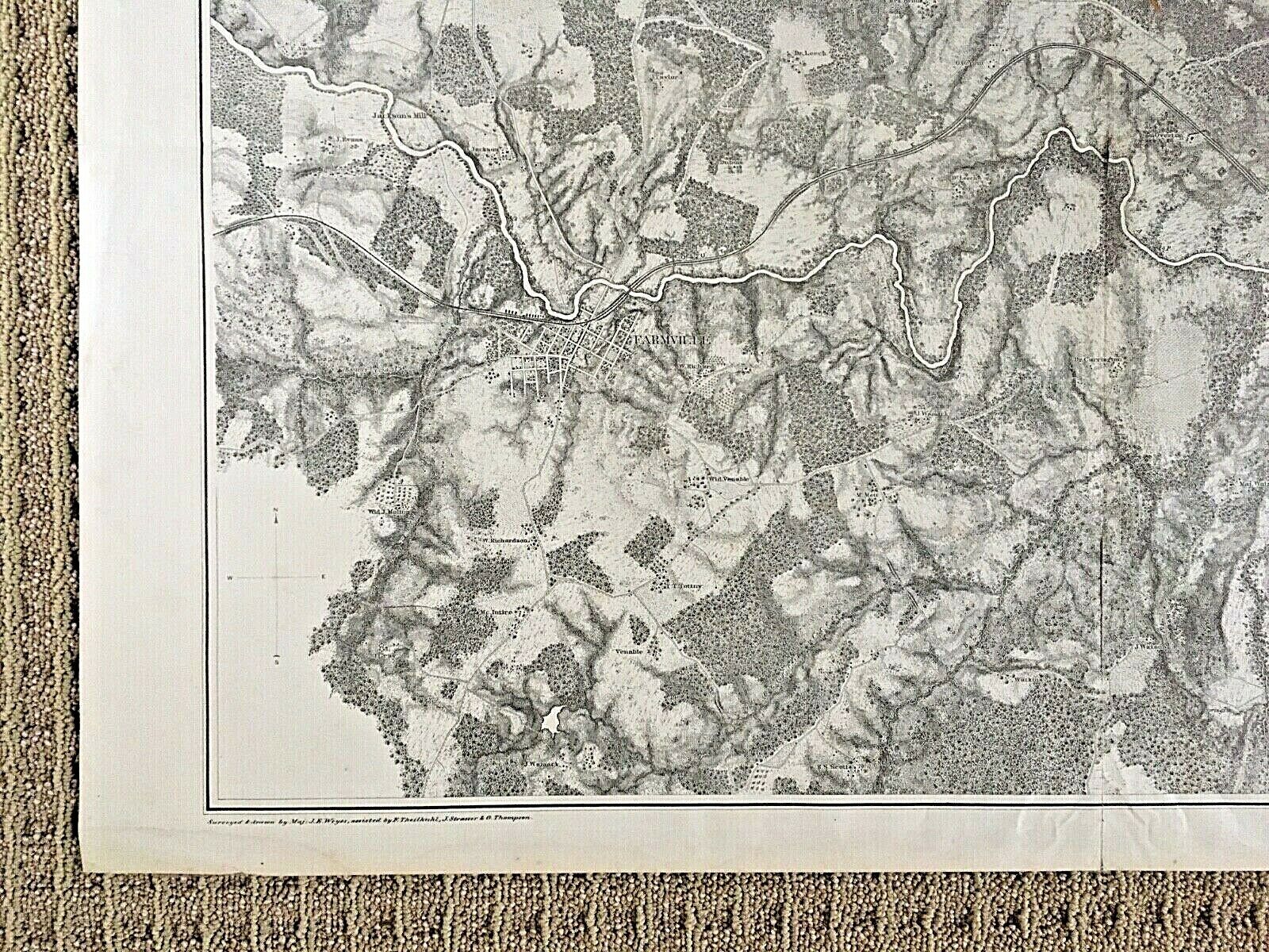
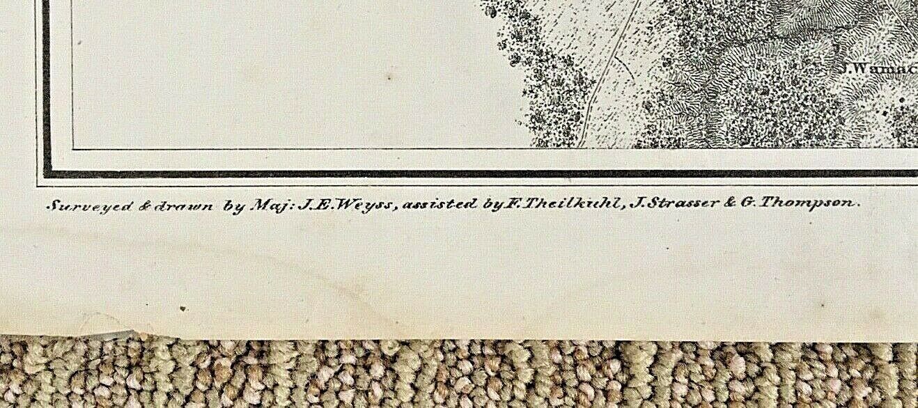
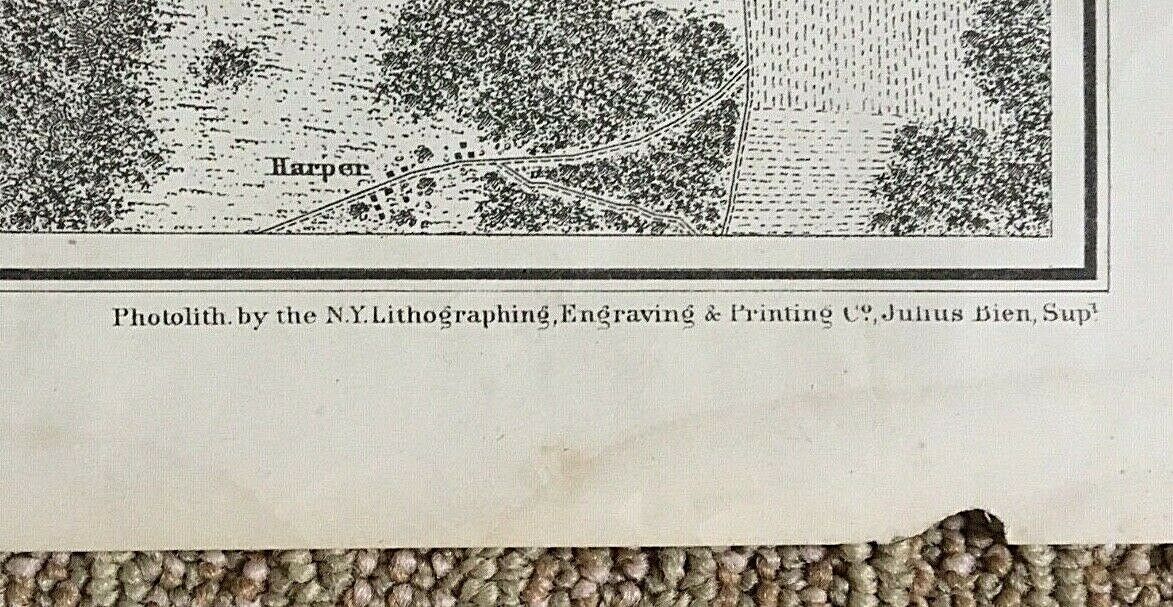
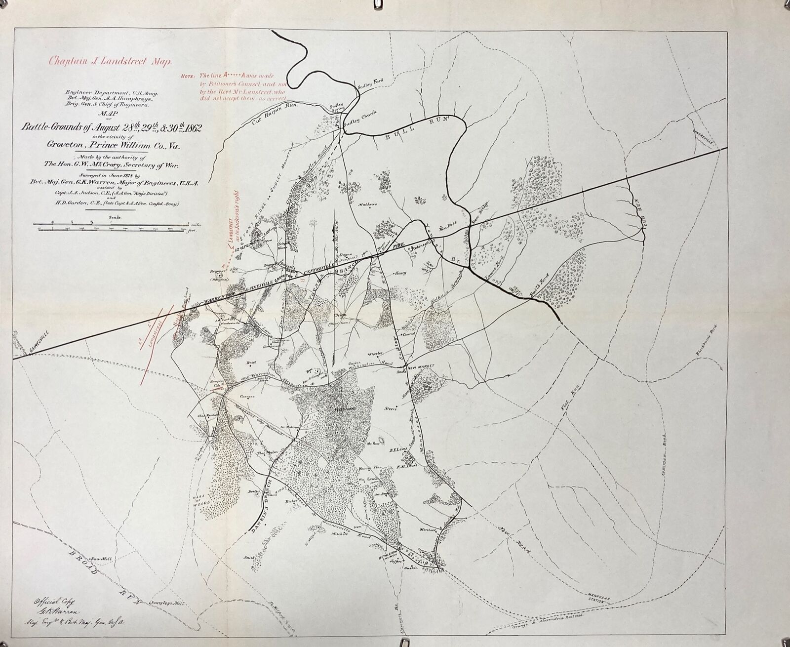
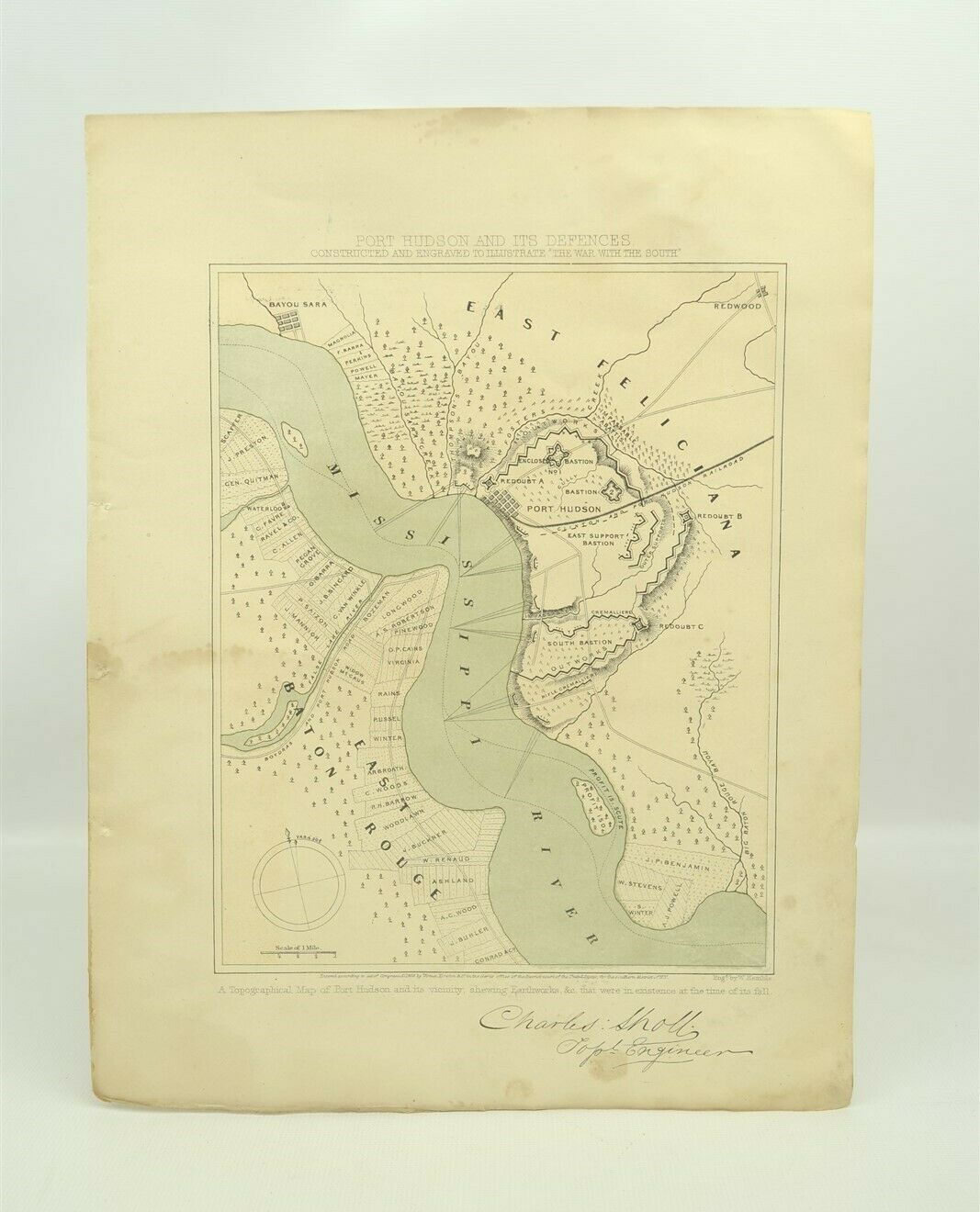
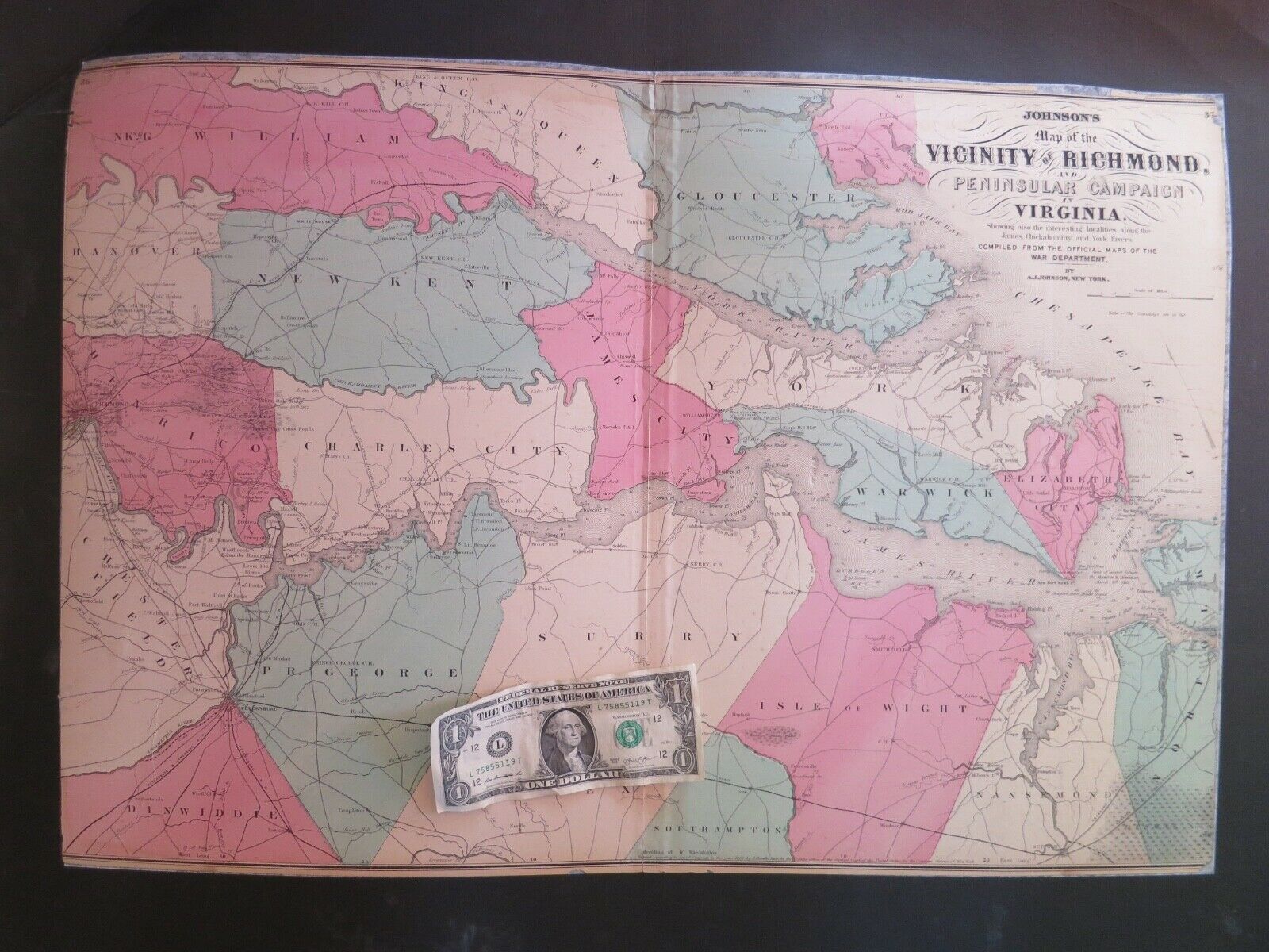
ORIGINAL - CIVIL WAR BATTLE of HIGH BRIDGE and FARMVILLE, VIRGINIA MAP c1865Original Civil War battle map by Julius Bien NY published by the US War Department. Map shows amazing detail of towns, roads, railroads, structures, landowners, and vegetation along the Appomatox River valley during 1865. Includes the river valley from the vicinity of Farmville to the vicinity of Jamestown. Shown on this map is the area where the Battle of High Bridge was fought. The Battle of High Bridge refers to two engagements fought on April 6, 1865 and April 7, 1865, near the end of the
Appomattox Campaign
of the
American Civil War
about 4 miles northeast of
Farmville, Virginia
. The first battle is often the one identified as the Battle of High Bridge that occurred at the actual bridge called High Bridge over the Appomattox River near Farmville, Virginia.
Relief type map.
Black ink 1 side.
Scale 3" = 1 Mile.
Printed: New York in 1867.
Fine condition with some damp stains along the top edge. A very small edge chip on the lower front right. One vertical and one horizontal fold line. Some light handling. This map has old proactive tape repairs on the reverse but only near the vertical center fold edges to prevent the fold from splitting. This
has not
been under trimmed as most of the few specimens in museums are.
(please see pictures)
Dimensions: 23 3/4" x 33 7/8"
This map will be carefully rolled for shipping and will not be folded to preserve the strength of the fold lines.
PLEASE SEE MY 100% POSITIVE FEED BACK AND BUY WITH CONFIDENCE.
