-40%
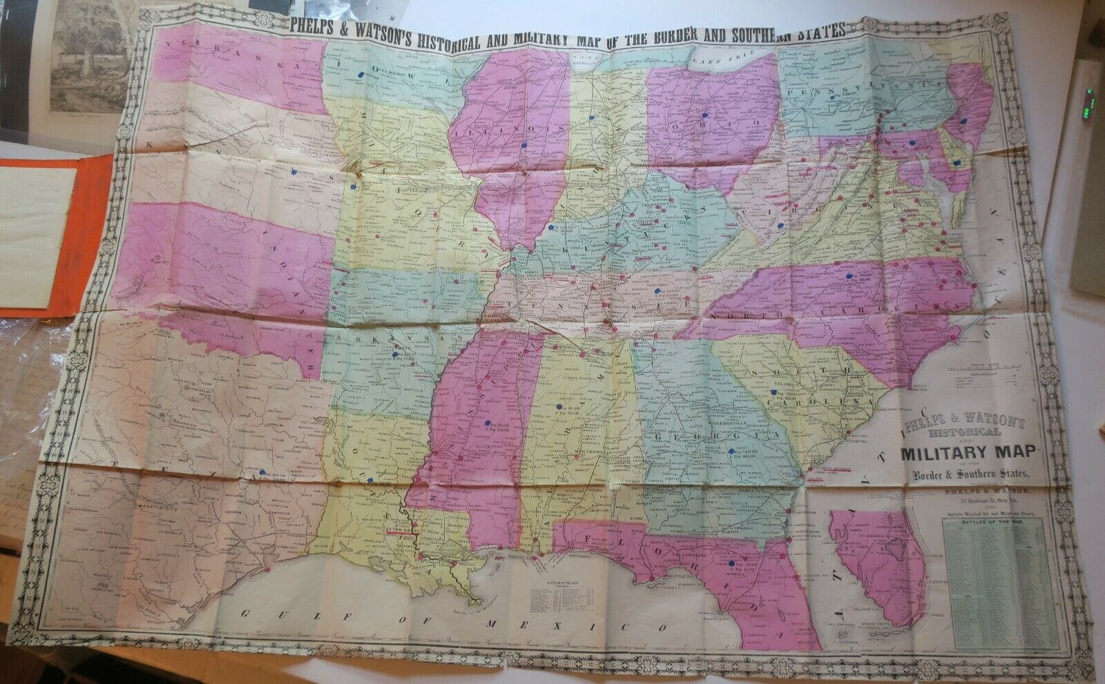
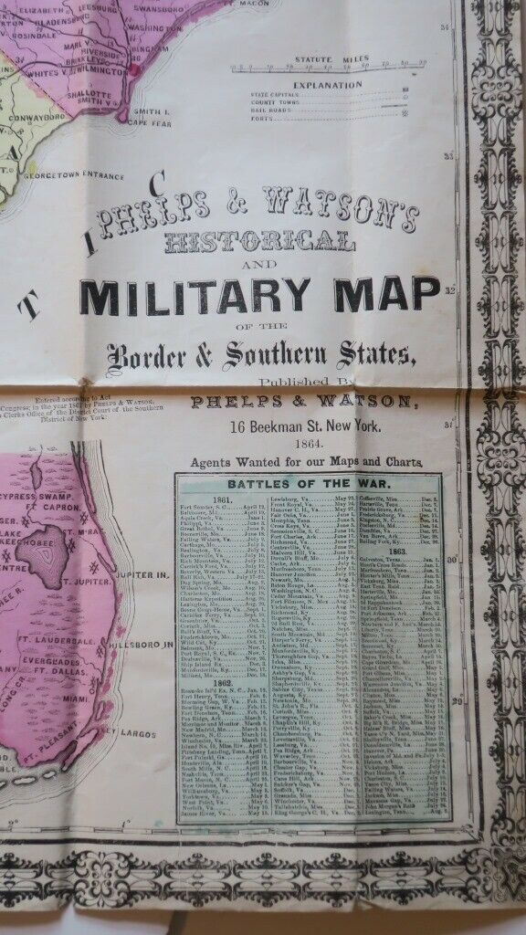
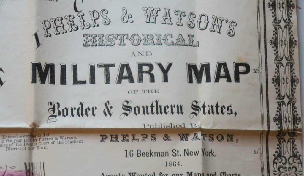
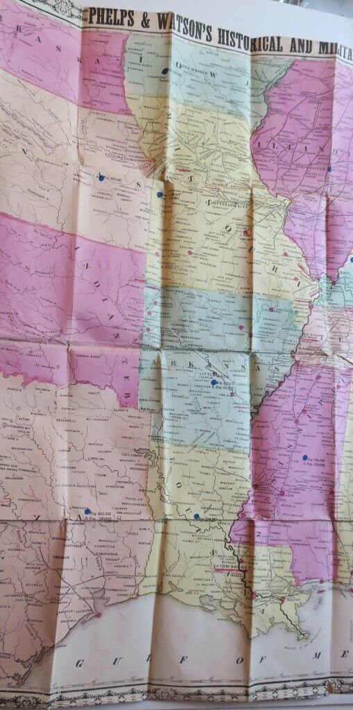
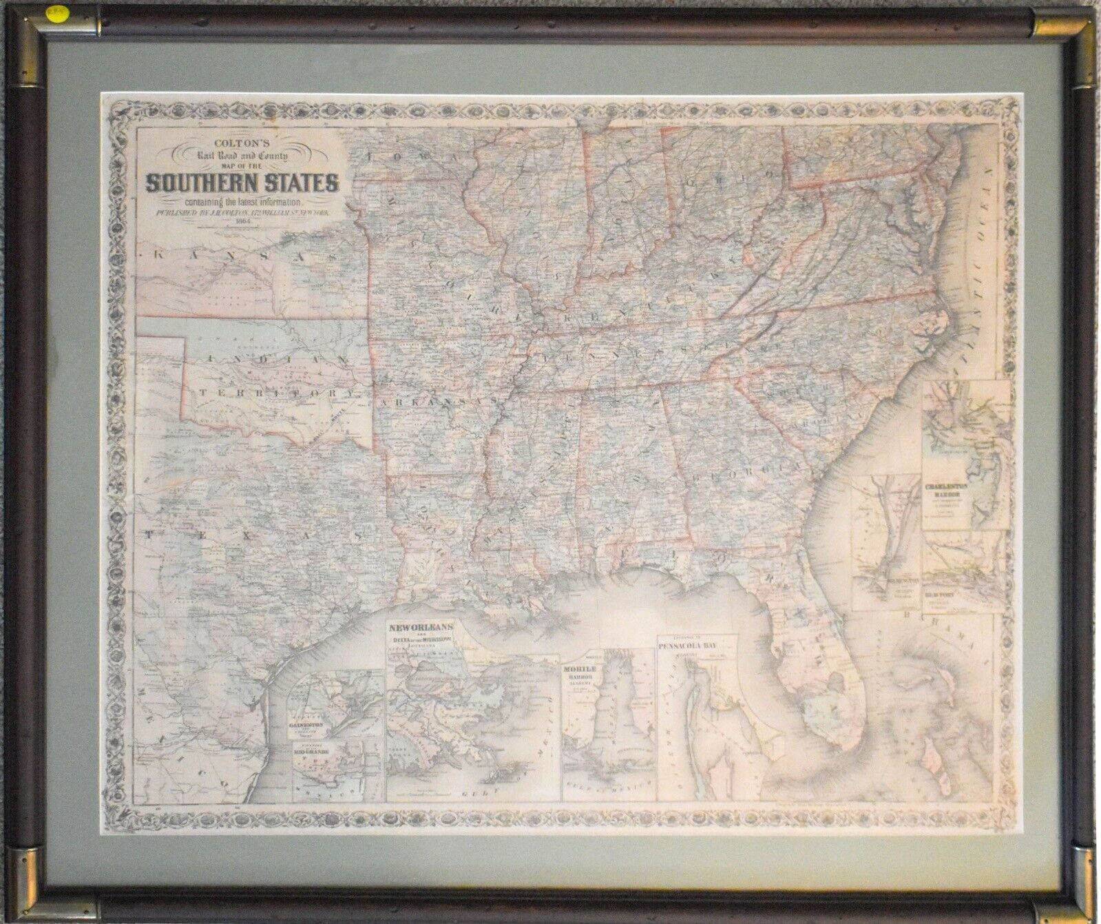
1864 PHELPS & WATSON`S Historical & Military Map Border & Southern States,colrd
$ 197.97
- Description
- Size Guide
Description
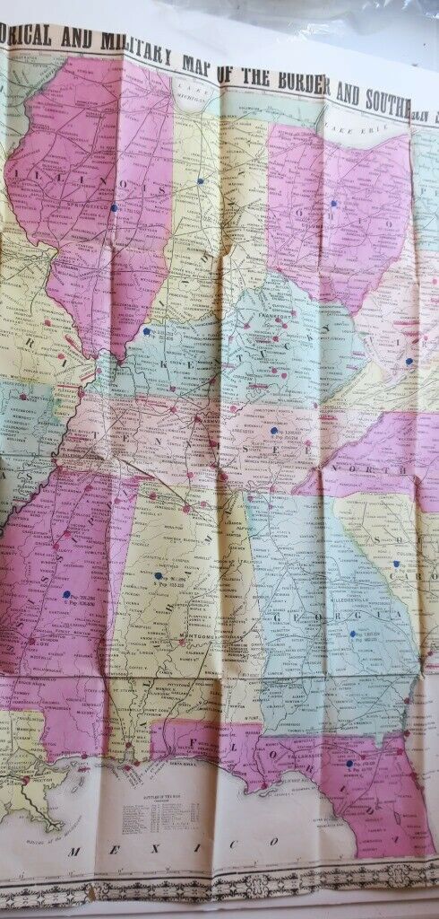
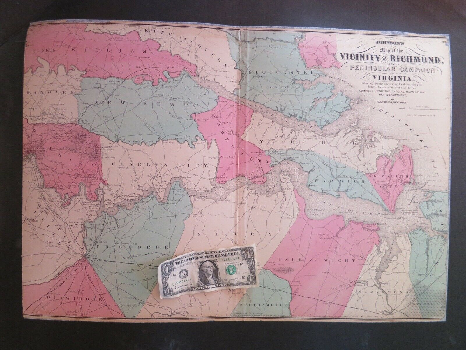
ORIGINAL 1864 Civil War mapof the Confederate states including Texas, and the border states from Nebraska north to Pennsylvania. Detail includes towns, railroads, forts, and distances along the railroads. Battles marked with red colored dots. Blue dots indicate populations for each state, including free and slave populations. Extensive list of "Battles of the War" through 1863 encounter at Locust Grove, Va Nov 1863. Booklet includes
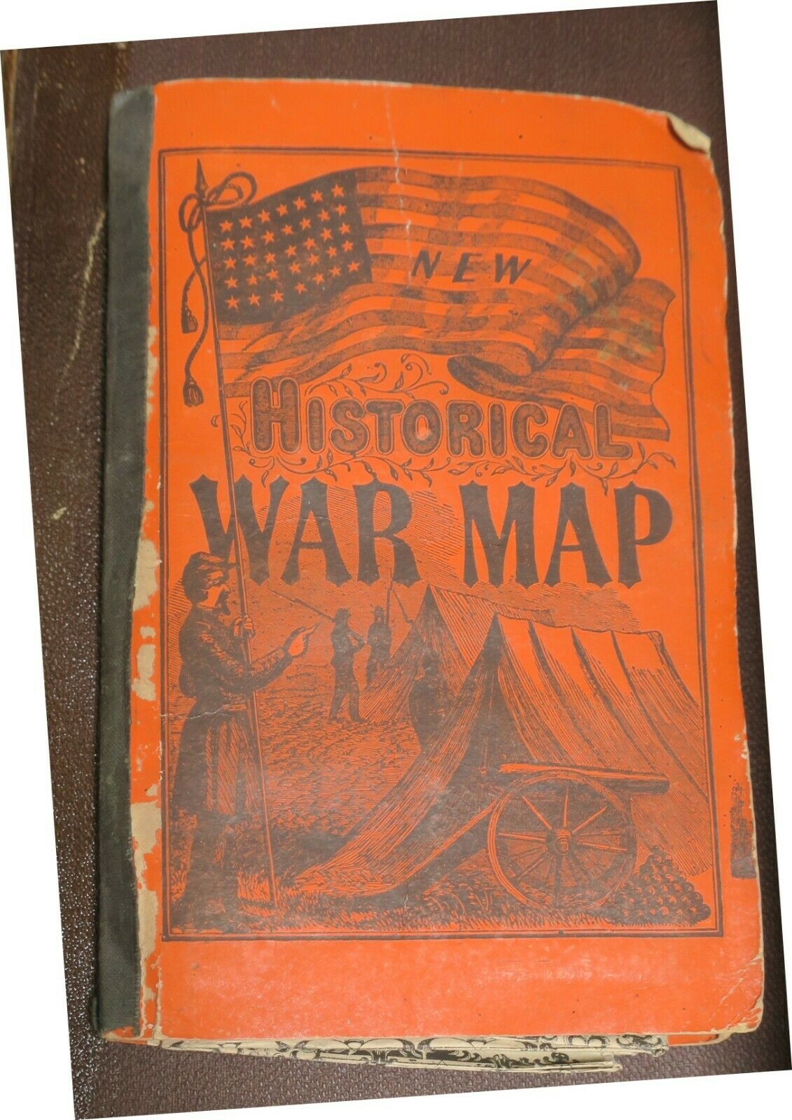
Suffolk, taken by the Union in March 1864. Rail lines are indicated but not named. Decorative border with corner transitions and cartouche flourishes along margins; Folds into orange pictorial stiff wraps featuring an army camp with tents, cannon, and a U.S. Flag. Inside the 35pp booklet is "Brief Description of Battles and Skirmishes of the War" that lists the battles in chronological order, noting some strategic detail and outcomes.
Map has full original hand coloring in fine condition.
Size: Approx 36" x 25"
